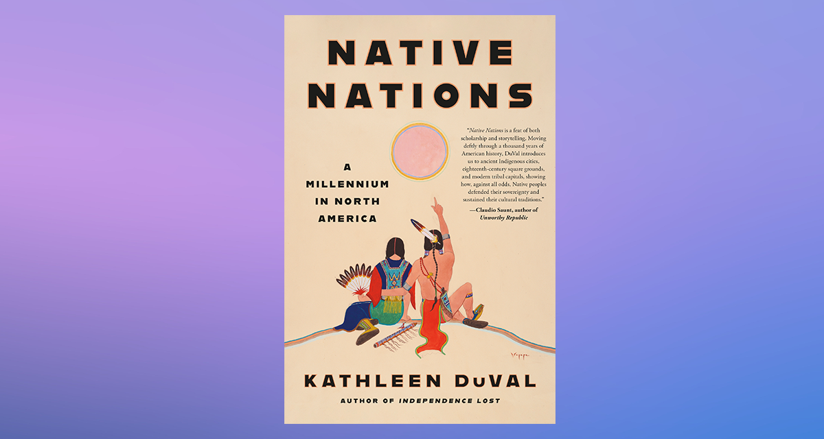
“An essential American history” (The Wall Street Journal) that places the power of Native nations at its center, telling their story from the rise of ancient cities more than a thousand years ago to fights for sovereignty that continue today.
Chapter 1
Ancient Cities in Arizona, Illinois, and Alabama
It is rare that everyone in the world has the same thing on their minds at once, but we know one thing that everyone was talking about in the spring of 1006: the star. It had always been in the sky, but now it was sixteen times as bright as the planet we call Venus. In some places it was visible during the day for an entire month and startlingly bright at night for several years. Scientists today say it was the brightest supernova ever recorded. A chronicler in Baghdad recorded that “its rays on the earth were like those of the Moon.” A Benedictine monk in Switzerland wrote that “a new star of unusual size appeared; it was glittering in appearance and dazzling the eyes, causing alarm.” Alarm was a common reaction. Egyptian scholar Ali ibn Ridwan wrote about wars and famines that followed the star’s appearance. Chinese astronomers worried about whether what they called “guest stars” were auspicious or, as the scholar Li Shunfeng put it, a sign that “presages military action, death, and countrywide famine.” Court astronomers worked to assure Emperor Zhenzong that, despite recent invasions, “it presages great prosperity to the state over which it appears.”
In our age of electric lights, it is hard to grasp how important the stars were to everyone before the twentieth century. People all around the world used the sky to keep track of time. They could see countless more stars than we can today, and many cultures believed that a change in the sky meant something significant was happening. When another supernova appeared in 1054, less than fifty years later, some people believed the skies were telling them to make a change. They moved to new places and adjusted their religious beliefs and practices. Leaders used the skies for guidance and sometimes pointed to them as evidence that people should follow whatever path they advised. The capital of the Ghana Empire fell to the Islamic Almoravids around the time of the 1054 supernova, and its call to change may have assisted in persuading Ghanaians to convert to Islam. Both the Normans and their English adversaries saw the appearance of Halley’s Comet in 1066 as presaging the Norman conquest of England; it is woven into the Bayeux Tapestry.
The people of North America watched the sky, too. Their calendars were based on changes in the moon and in the sun’s position relative to Earth. Archaeologists speculate that the second supernova, in 1054, inspired people who had lived in small farming towns in what’s now Illinois to tear one of them down and build Cahokia, a large and influential city that would set off a trend of grand civilizations called “Mississippian” that spread all across the Mississippi Valley and the American Southeast in the following centuries. Cahokians clearly saw the sky as important—near its central city was a huge outdoor calendar made of tall red cedar posts, carefully placed to mark solstices and equinoxes. Cahokia was just one of a constellation of city-states across the continent. Also around 1054, the already sprawling civilization of the Huhugam, in what’s now Arizona, began its greatest period of growth and centralization.
Around the world, a combination of portentous signs, agricultural expansion, and human decisions sparked the growth of cities. They became crossroads of economic and cultural exchange on a phenomenal scale. They grew and distributed food for thousands, even tens of thousands, of people; they were bursting with artists and craftworkers; and they had fighters capable of defending them and conquering surrounding territory. North America followed this global pattern, but Europeans and white Americans couldn’t square this urban past with their assumption that Indians were primitive and nomadic, people whose use and ownership of the land were so light that it really didn’t belong to them. By overlooking the continent’s history of powerful, sophisticated cities in this self-serving way, Europeans and their descendants would justify taking a continent. This chapter starts by looking at those myths at their height, in the late nineteenth century, and Native Americans’ attempts to correct those myths with their own historical and cultural memories. After that we’ll look at the realities of that ancient past in three places: Cahokia, the cities of the Huhugam, and Moundville, in present-day Alabama.
Myths
In the 1880s, William McAdams, a member of the St. Louis Academy of Science, stood in a cellar in southern Illinois looking for evidence that the huge earthen pyramids that dotted the Mississippi Valley were human-made. Only a few decades earlier, the United States had forced the Chickasaws from their homelands, yet by McAdams’s time, archaeologists puzzled over the places that the ancestors of Chickasaws and neighboring Native peoples had built. Indeed, after they removed Native Americans, nineteenth-century white Americans tried to forget they had ever been there at all. The aptly named Mr. and Mrs. Hill had built this house—and the cellar in which McAdams stood—on the highest place on their farm, the flat top of a pyramid ten stories above the prairie below. The walls of the cellar were black, carved out of rich soil that was easy to dig and fertile for the corn and pumpkins the Hills were growing on the flat surfaces of the multitiered hill. But interspersed in the black dirt of the walls here and there, McAdams could see patches of yellow clay and gray silty dirt. If these variations had been natural, they would have come in stratified layers, but these were patches, McAdams noted, “about such size as a man could easily carry.”
Humans had built this hill, one bucketful at a time. McAdams’s certainty grew when Mr. and Mrs. Hill showed him artifacts they had found on their property, including pottery and axes. Mr. Hill explained that he had dug a well starting at the top of the mound, deep into the soft soil. At the depth of sixty-five feet, he had pulled up broken pieces of pottery and decayed ears of corn, perhaps the lunch remains of an ancient worker building the hill up from the prairie’s surface.
McAdams was contributing to a vigorous late-nineteenth-century debate about the origins of hills like this one that people could see rising abruptly from the flatlands of the Midwest, the floodplains of the Southeast, and the deserts of the Southwest. A few years later, exploring the place that had become the city of Phoenix, anthropologist Frank Cushing was astounded to see “the remains of the most extensive ancient settlement we had yet seen, or I had ever dreamed would be possible for us to find within the limits of the United States,” a long series of flat-topped pyramids that “lay stretched out in seemingly endless succession,” with “the yellow, almost angular slopes of the great central temple-mound” above them. All across the United States, many of these mounds still exist today, after centuries of erosion, although most were destroyed to make room for new towns and cities that Americans built on Native American land.
McAdams had been drawn to the particularly dense ruins of a great Native city that archaeologists called Cahokia (after the Illinois-speaking Cahokia Indians living nearby in the eighteenth century). In his day, two hundred mounds rose up out of the tall prairie grass on both sides of the Mississippi River, so striking that one of St. Louis’s early nicknames was “Mound City.” McAdams and other scientists in the late nineteenth century were worried that the main city of Cahokia would be bulldozed before they had a chance to understand what they were—just as Cahokia’s outlying cities already had been leveled to make room for St. Louis and East St. Louis. Developers were putting pressure on landowners like the Hill family to sell so they could build steel mills at this place near the confluence of the Mississippi River and the Missouri, Ohio, and Illinois rivers, as much a crossroads of the continent then as it had been in Cahokia’s time.
Nineteenth- and early-twentieth-century geologists, though, argued that the mounds were natural occurrences, raised up by a deep glacier passing through in a previous millennium or carved out of bluffs by erosion. Many Americans found the geological explanation for the mounds easier to believe than the idea that Native Americans had built cities on a grand scale centuries before the founding of the United States. In the Southwest, because the great civilizations had elaborate irrigation systems apparent to the untrained eye and, in some places, towering stone and adobe buildings, it was harder to claim that there was no human design there. In fact, all across the continent, flat-topped pyramids like the one the Hills had built upon were human-made and once had palaces and temples on top and cities all around.
Copyright © 2024 by Kathleen DuVal. All rights reserved. No part of this excerpt may be reproduced or reprinted without permission in writing from the publisher.

© Laura Wessell
Kathleen DuVal is a professor of history at the University of North Carolina at Chapel Hill, where she teaches early American and American Indian history. Her previous work includes Independence Lost, which was a finalist for the George Washington Prize, and The Native Ground: Indians and Colonists in the Heart of the Continent. She is a coauthor of Give Me Liberty! and coeditor of Interpreting a Continent: Voices from Colonial America.


